
| Article number: | BK-IYST-CS |
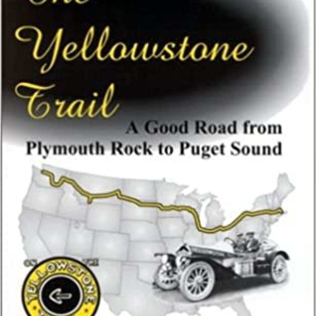
This book is for the arm-chair traveler/historian or for the adventurer who would like to drive what may be left of the Yellowstone Trail in his neck of the woods. It is the tale of daring men who in 1912 envisioned the possibility of driving across a whole county by means of a single system of connected roads. They even envisioned (gasp) a road across adjoining states or, fools that they were, a connected route across the northern tier of states from coast to coast.
Few people think about the history of roads around their neighborhood or state. We all take the existence of roads for granted, and even as a right for which we pay taxes. Few of us know of the drama surrounding the establishment of roads and especially of a transcontinental road. 1912 was a year of little state funding for roads, and very limited federal funding, of few if any road maps, of dominance by railroads, and of mud holes passing for roads. Small groups of private citizens were driven by desperation to do what governments were not doing. The Yellowstone Trail Association was one of the first of those groups. Always underfunded yet optimistic, these men established, through grass roots efforts, a strong organization and a 3500 mile route across the northern tier of states. Their plan was to link existing east-west county and township roads together by persuading county boards to put their road dollars into the Yellowstone Trail and establish a definite path fir! st to the Yellowstone National Park and then across the nation. As the organization grew, state-by-state, so grew the Trail.
The organization behind the Trail was founded by very small businessmen, farmers and ranchers who had no great public relations acumen. They certainly advertised, but their efforts centered upon handing out maps, running information bureaus, and persuading county boards, and then later, state offices, to build better roads. Their budget was always laughably small and they charged very little to be a member, only $1.00 per year in the beginning. They had no source of wealth. The Lincoln Highway, on the other hand, was begun a year later, 1913, by wealthy automotive manufacturers who had the wherewithal to fund massive advertising campaigns. They also wrote books about themselves. This legacy has rendered that organization more memorable than the Yellowstone Trail, but not more successful nor more long-lived. They both suffered at the hands of government-sponsored road numbering in 1926. And by 1930 they were both out of business.
There is no mother load of information about the Yellowstone Trail and its parent Association. There was a small body of founders and there was a general manager, but, when the Association ceased to exist in 1930, the boxes of records of annual meetings disappeared, leaving only a slim file of materials in the South Dakota State Historical Archives. The strength of the organization laid with hundreds and hundreds of volunteers scattered coast to coast. The authors scoured myriads of museums, libraries, archives, and attics for tid bits and pictures with which they pieced together an historic mosaic. Weekly newspapers of towns along the Trail revealed an avid interest on the part of the populace in the Trail for those 18 years, oftentimes printing conflicting details, but united in their unbridled support of a road which would bring fame, fortune and tourists to their communities. Those newspapers also revealed a dynamic of life different from ours, 90 or 80 years later. Oral histories, generously supplied by some very senior citizens who recalled the Trail, provide some human interest tales.
This is an introductory book only, so that the last chapter, which contains maps and suggestions for travel on existing portions of the Trail, can only scratch the surface. But state general maps are included for the present-day driver. A more complete book of maps of the Trail is in the works. All maps were created with a GPS, original Yellowstone Trail Association maps, and four years of patient driving with laptops along the two Interstates, nine state roads, and countless county and state roads, and abandoned paths that mark the Trail. We have even driven on no roads, just overgrown tracks on present-day ranches.
There is a resurgence of interest in the Trail. South Dakota has recently marked the Trail in its state from border to border. Minnesota has several state markers on its portion of the Trail. Montana is planning to put up state history signs along the Trail, and four county visitors and convention bureaus in Wisconsin have launched a tourist attraction campaign along the Trail.
We hope the reader will understand the times of 90 years ago and the frustrations of men of vision who faced insurmountable odds to see their dream finally materialize. Come along for an historic ride, and then drive the Trail in your neighborhood. Enjoy!